How to Become a Land Surveyor ?
In general, people who like surveying also like math—primarily geometry and trigonometry. The field attracts people with geology, forestry, history, engineering, computer science, and astronomy backgroundsr
What Is A Survey Usually Required?
Before title to land is conveyed, it is desirable to have an adequate description of the property for the deed, including an accurate determination of the acreage.
What do LAND SURVEYORS DO?
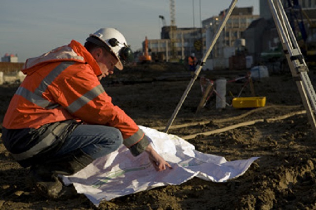
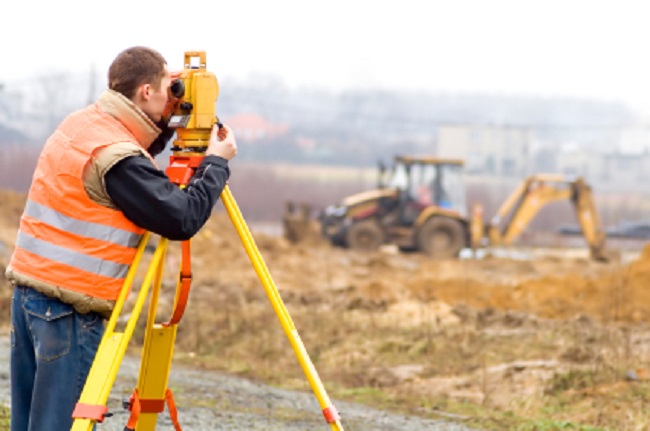
Many people think that surveyors only conduct fieldwork. Surveyors can choose from many specialties and get involved at many stages of a project. Sometimes a surveyor may work in the field and then deliver the data to a surveyor who works in the office.
What is LAND SURVEYING?
Land Surveying is crucial to responsible land development. Land Surveyors work with engineers, architects and builders to produce precise descriptions (surveys and maps) of surface features of the Earth.
Wondering how you could prepare for a Career in LAND SURVEYING?
What Is A Survey Usually Required?
Before title to land is conveyed, it is desirable to have an adequate description of the property for the deed, including an accurate determination of the acreage. It is also important to know if there are any physical features or title overlaps, which might constitute encroachments or, in some way, adversely affect the title to the land. Only an up to date survey, by a Professional Land Surveyor, can give you this information.Most North Carolina cities and counties have subdivision ordinance requirements, which must be followed. For any subdivision, the Professional Land Surveyor can work with you to prepare the required subdivision map. This may be a simple procedure, but may, depending on the situation, involve any of the following: a boundary survey, a topographical survey, site analysis, road and lot layout, road grade design, and the calculations for the necessary erosion control features. The
 |
What Is A Survey Usually Required? |
Professional Land Surveyor can also prepare the subdivision plat for recording, the road plan and profile maps, and the erosion control plans.
The Professional Land Surveyor can explain the requirements of the local Subdivision Ordinance and assist you in getting the necessary approvals for your development.
Before land is improved by constructing drives, fences, walls, or buildings, it is desirable to know the location of the property corners and boundaries. Using the services of a Professional Land Surveyor, for staking and grading the locations of the improvements, avoids encroachments upon adjoining property and possible litigation at a later date. It also ensures the improvements will be constructed according to the design plans.
Before land is partitioned by a will or by Court Order, a survey of the land is needed. In the case of a will, the boundary of the property as well as the improvements, such as buildings, roads, and drives, on the property need to be located. When the land is divided, the heirs can easily decide on the location of the new dividing lines. Also, before the court can establish a disputed boundary line, it needs an accurate survey of the land. The Professional Land Surveyor can provide the necessary maps.
When a question arises as to the location of a boundary line between you and your neighbor, the first thing you need to do is get an accurate boundary survey. When the survey is completed, the Surveyor can explain the location of the boundary line. In some cases, the surveyor can help solve the problem between you and your neighbor; at other times, the surveyor will appear in court as an expert witness on your behalf.
What do LAND SURVEYORS DO?
Many people think that surveyors only conduct fieldwork. Surveyors can choose from many specialties and get involved at many stages of a project. Sometimes a surveyor may work in the field and then deliver the data to a surveyor who works in the office. The office-based surveyor analyzes the data, creates maps and other documents.
What does the Land Surveyor do
 |
What do LAND SURVEYORS DO? |
Today's Technology
Land surveyors need to be current with emerging technologies such as GPS (Global Positioning System), 3D laser scanning and digital photography. GPS is used for precise positioning of points anywhere on the earth that are used in a wide variety of mapping procedures. In general, the main function of a land surveyor is measuring and mapping the earth's surface through the use of current technologies and softwares.
Land Surveying is crucial to responsible land development. Land Surveyors work with engineers, architects and builders to produce precise descriptions (surveys and maps) of surface features of the Earth. Land Surveyors perform a variety of vital tasks such as boundary surveys, topographic mapping and construction staking.
LAND SURVEYING has Shaped History
- Three of the four presidents on Mount Rushmore started as surveyors, specifically, George Washington, Thomas Jefferson, and Abraham Lincoln.
- Surveying tools and basic mathematical principles helped ancient Egyptians set the corners of the Great Pyramid.
- President Thomas Jefferson commissioned Lewis and Clark to explore and survey the territories from Jefferson’s great real estate deal, the Louisiana Purchase. Their extensive reports, maps, and collected data provided critical information that encouraged westward settlement.
- Surveyors made sure the Union Pacific and the Central Pacific railroads met in Promontory Point, Utah, to form the first transcontinental railroad.
- Surveyors helped measure the distance from the earth to the moon. The first men to land on the moon placed a grouping of reflector prisms—measuring tools used by surveyors. The distance measured was accurate within just a couple of feet.
- When the Space Shuttle Columbia disintegrated on February 1, 2003, debris scattered over hundreds of miles across 40 counties. Using high-precision GPS equipment, surveyors helped to mark the location of debris so that scientists could reconstruct the accident.


